Storm Dennis Floods
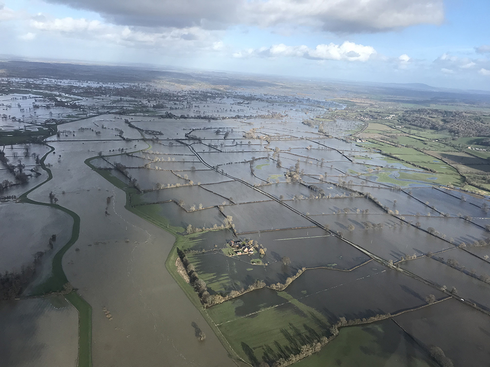
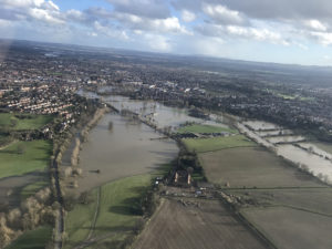
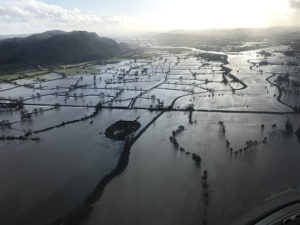
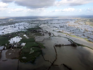
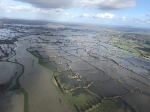
Posted Thursday March 5th 2020This aerial footage is of recent floods following storm Dennis in the Shropshire & Powys areas.
Being up in the air enabled far reaching views showing the full extent of the floods! The pictures capture what is normally a mass of fields, totally covered in water!
Powys & Shropshire Underwater
Many villages & towns in the area have been affected including Melverley, Kinnerley, Llanymynech, Arddleen, Welshpool, Four Crosses, Llandrinio, Shrewsbury, Ironbidge and many more places in Shropshire, Worcestershire and Herefordshire.
Clear up Begins
Now the water levels are dropping and the tidy up begins, Ridgway Rentals can help.
This last week has seen many homes and businesses affected across the length of the River Severn after flood defences buckled and the Met Office revealed rainfall in February the wettest on record in the UK.
IF THE USE OF ANY PLANT MACHINERY CAN HELP YOU GET BACK TO NORMALITY – PLEASE GET IN TOUCH TO SEE IF WE CAN HELP OUT!
We have a range of different sized dumpers and excavators from mini diggers up to large excavators with attachments to suit varying requirements – CALL US TODAY
01691 770171
Storm Dennis Floods in Shropshire
Making use of our Self Fly Helicopter Hire, this footage was taken by Ridgway CEO Tim Jones, who took to the skies over the weekend.
This area in Shropshire is situated on the River Severn and River Vyrnwy and stretches across the border between England & Wales near the Powys hills & Rodney’s Pillar.
The River Vyrnwy is a tributary to the River Severn which is Britain’s longest river. The Severn runs for 220 miles from the Welsh mountains, through the Shropshire and Worcestershire countryside and down to the flatlands of the Severn estuary and the Bristol Channel
- Floods over Powys towards Welshpool & Mid Wales
- Floods over Shrewsbury, Ironbridge & the Wrekin
- Floods over Powys & Shropshire
Flood warnings remain in place affecting many properties and roads in the surrounding area. More information can be found on the Government Flood Information Service

